Scientists Decipher Ancient Origins of Euphrates River Using Seismic Imaging

Researchers have determined that the Euphrates River formed between 3.6 million and 1.6 million years ago when two ancient river systems merged due to tectonic activity in Turkey's Taurus Mountains. The finding, published in Nature Geoscience, was made possible by seismic imaging technology originally used to search for gas reserves beneath the Mediterranean seafloor. Understanding the river's origins helps explain the geological conditions that later enabled the rise of agriculture, cities, and writing in ancient Mesopotamia.
A new study published in Nature Geoscience has deciphered the ancient origins of the Euphrates River, the longest river in southwest Asia and a foundational waterway for early human civilization. Using subsurface seismic imaging — a technique that maps underground rock layers using sound waves — geologists identified buried river channels beneath the Mediterranean seabed dating to more than five million years ago, during the Messinian salinity crisis when large parts of the Mediterranean had dried up. They determined that two separate rivers, predecessors to the modern-day Karasu and Murat rivers in Turkey, once flowed westward into the Mediterranean basin with flow rates exceeding those of the modern Nile and Tigris-Euphrates combined. Tectonic activity in earthquake-prone eastern Anatolia caused these rivers to be diverted and eventually merge, forming the single river system that became the Euphrates roughly 1.6 to 3.6 million years ago. The study was led by University of Western Australia geoscientist Simon Lang and geologist Andrew Madof of Chevron. Researchers note that the river's floodplains later became the cradle of key human milestones, including early agriculture, urban development, and the invention of cuneiform writing in cities such as Uruk and Babylon.
Limitations & open questions
The involvement of Chevron's geologist Andrew Madof as a co-author — given that the seismic data was originally gathered for commercial gas exploration — is noted but not examined for potential conflicts of interest.
What different sources said
- The Straits TimesCenter
Scientists decipher ancient origins of Euphrates River, cradle of civilisation
- Channel NewsAsiaCenter
Scientists decipher ancient origins of the Euphrates River
Related
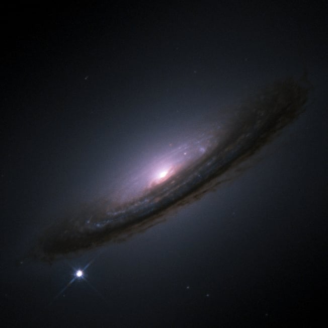
Nobel Laureates Rebut Study Claiming Universe's Expansion Is Slowing, Confirm Acceleration Continues
An international team of astrophysicists, including Nobel laureates Adam Riess and Brian Schmidt, has published a study in the Monthly Notices of the Royal Astronomical Society confirming that the universe's expansion is still accelerating. The rebuttal targets a late-2024 South Korean study that had claimed dark energy was weakening, a finding that would have overturned nearly three decades of cosmological understanding. The new study identifies two specific methodological errors in the earlier work, restoring confidence in the standard model of cosmic acceleration while leaving the deeper mystery of what dark energy actually is unresolved.

Study Finds Trees May Store Less Carbon Than Climate Models Predict
A new study published in Science Advances found that oak trees stop growing months before they stop photosynthesizing, meaning increased carbon uptake does not necessarily translate into more wood growth and long-term carbon storage. Researchers analyzed 137 sites across the US, finding that 26–36% of annual carbon uptake occurred after tree growth had already ceased, with drought and heat identified as key triggers for halting growth. The findings suggest that widely used climate models, which assume photosynthesis and growth are tightly linked, may be overestimating forests' future capacity to sequester carbon.
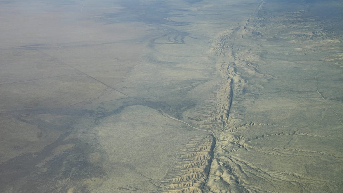
San Andreas Fault Stress Reaches Highest Level in 1,000 Years, Study Finds
A new peer-reviewed study finds that tectonic stress on Southern California's San Andreas and San Jacinto fault systems has reached its highest levels in at least 1,000 years, with the San Jacinto-Bernardino section measuring 3.6 megapascals. The research, led by the University of Hawaiʻi at Mānoa and published in the Journal of Geophysical Research: Solid Earth, used a computer model drawing on geological data including radiocarbon dating and tree-ring records to reconstruct a millennium of earthquake history. The findings cannot predict when a major earthquake will occur but are intended to improve hazard assessments, inform building codes, and guide emergency preparedness in a region home to millions.